The week’s burst of cold, wintry weather is expected to relax slightly on Saturday, but forecasters say the reprieve will be brief before another surge of frigid air spreads across the central and eastern United States early next week.
While no record lows are expected on Saturday and “feels-like” values should improve a little, conditions will remain seasonably cold and blustery for millions. Afternoon wind chills are forecast to top out in the mid-20s Fahrenheit in Chicago, mid-30s in New York City and mid-40s in Washington, D.C.
Overnight into Saturday morning, a quick burst of light snow and wintry mix brushed the I-95 corridor from Washington to New York. Most spots saw little more than a dusting, though some locations from D.C. to western New Jersey picked up up to half an inch of accumulation before the precipitation dried out.
Patchy icy and slick patches remain possible for anyone heading out early Saturday in these areas, but road conditions should steadily improve through the morning as temperatures edge up and skies dry. Wind chills, while still chilly, are generally higher than they were on Friday morning.
By Monday, however, another blast of colder air is expected to drop high temperatures in parts of the Midwest and Northeast back near freezing, with overnight lows falling to near or below zero in some northern locations, even as parts of the western U.S. start to warm toward possible daily record highs.
Letitia James Faces Federal Charges of Mortgage Fraud Amid Backlash
Quick-moving snowstorm targets the Plains and Midwest
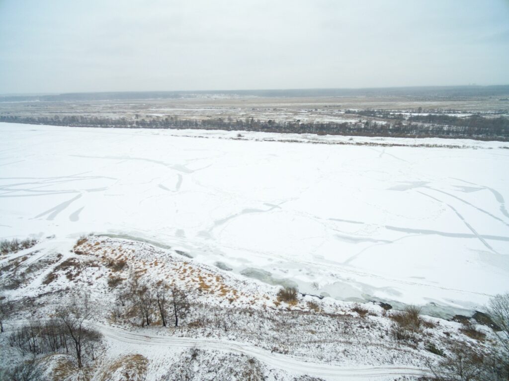
A compact but energetic snowstorm, tapping into the lingering cold air, is sweeping across the northern Plains and into the Upper Midwest over the weekend. The system moves through the Dakotas and Nebraska on Saturday, then pushes into Iowa and Minnesota by early afternoon.
Forecasters expect the heaviest snow to fall over Iowa and southern Minnesota, where totals of 3 to 7 inches are possible through Sunday morning. A Winter Storm Warning is in effect for communities including Fort Dodge and Waterloo in Iowa, as well as Mason City and Worthington in southern Minnesota.
By Saturday evening, snow is projected to reach Chicago and Milwaukee. Accumulations of around 3 to 4 inches are possible in both metro areas, with the higher totals likely just to the west, closer to the storm’s core.
In total, at least 1 to 3 inches of snow is expected from parts of Montana and the Dakotas down through southern Wisconsin and northern Illinois, enough to slick roads and slow travel, but not on the scale of the major storms that hit earlier in the month.
As the system tracks east, it will drag in the next pulse of cold air but is forecast to weaken, bringing little direct snow to the Northeast beyond some typical lake-effect bands downwind of the Great Lakes.
Rockies dig out from deep mountain snow
While the Midwest grapples with several inches of fresh snow, the Rockies are being hammered by a much more substantial mountain event. From Idaho and Montana south into Colorado and Utah, heavy snowfall continues to pile up at higher elevations.
Most high-country locations are on track to pick up more than a foot of snow through the weekend, with some exposed peaks and favoured ranges likely to exceed 2 feet before the storm winds down. The snow already in progress is expected to continue through Saturday, taper overnight and largely end by Sunday morning.
Winter Weather Advisories and Winter Storm Warnings remain in force across many Rocky Mountain ranges, reflecting both the depth of the snow and the potential for blowing and drifting in gusty winds. Backcountry travel and mountain driving will remain hazardous, particularly on untreated passes and secondary roads.
What this Midwest and Northeast winter weather means for travel
For travellers and holiday shoppers from the northern Plains to the East Coast, the weekend brings a mix of challenges rather than a full-scale blizzard. Light snow and residual ice along the I-95 corridor from Washington to New York may cause early-morning slick spots, particularly on bridges, ramps and untreated pavements, but improving conditions are expected later Saturday.
Across the Midwest, heavier snow in Iowa, southern Minnesota, Wisconsin and northern Illinois will likely lead to reduced visibility and snow-covered roads, especially Saturday night into Sunday morning, when the storm’s core brushes major hubs like Chicago and Milwaukee. Drivers are urged to allow extra time, reduce speed and watch for changing conditions as the band of steadier snow lifts east.
Air travel through Chicago’s airports and other Midwest hubs could also see delays if snowfall rates briefly increase during peak departure and arrival banks, though the system’s fast movement should limit prolonged disruption. Further west, deep mountain snow will be a boon for ski resorts but could temporarily close some high passes.
Looking ahead, forecasters say the broader pattern remains locked into multiple waves of Arctic air for the northern tier, with the frigid air forecast Midwest and Northeast into next week likely to keep temperatures well below average even between storms.