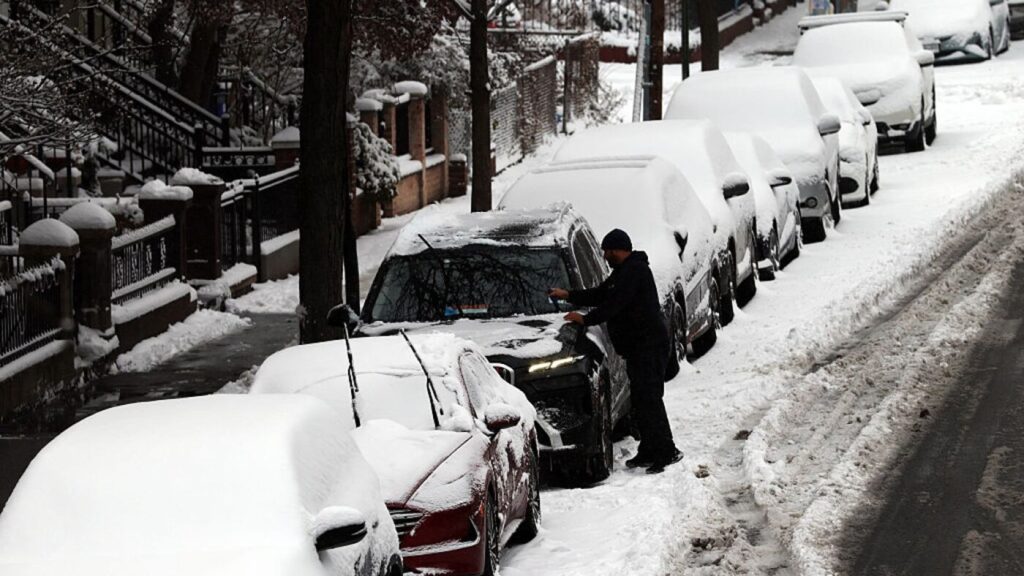
More than 40 million people are on alert as the next winter storm is forecast to bring snow, strong winds, and rain from the Dakotas through the Great Lakes and into northern New England over the coming days.
The system is expected to intensify as it tracks east, bringing different hazards by region, including blizzard conditions in parts of the Upper Midwest and Upper Great Lakes and icing concerns farther east.
Blizzard warnings posted from the Dakotas into the Upper Midwest
As of Sunday morning (Dec. 28), Blizzard Warnings were in effect from Grand Forks and Fargo in North Dakota down to Rochester, Minnesota, and Mason City, Iowa. Forecasters warned of snowfall between 3 and 8 inches combined with winds gusting as high as 45 mph, creating whiteout conditions and near-zero visibility through Monday morning.
From eastern Minnesota to northern Michigan — including Minneapolis, Green Bay and Sault Ste. Marie — Winter Storm Warnings were also in place, with heavy snow and gusty winds forecast from Sunday into Monday.
Michigan’s Upper Peninsula faces the biggest snow and wind
Blizzard Warnings were also in effect for Michigan’s Upper Peninsula, where snowfall of between 9 inches and 2 feet is expected, along with wind gusts up to 60 mph.
The combination of heavy snow and strong winds can create dangerous travel even after the heaviest precipitation ends, as blowing and drifting snow can quickly reduce visibility and re-cover roads.
Freezing rain concerns build in the Northeast
In the Northeast, Winter Weather Advisories were in effect from Scranton, Pennsylvania, up to Burlington, Vermont, and Portland, Maine, for freezing rain from Sunday through Monday.
Most of the wintry precipitation in the Northeast is expected to be confined to higher elevations of northern New England and much of Maine. Forecasters said freezing rain is most likely in northern New England, especially at higher elevations.
Jake Paul’s broken jaw confirmed after Anthony Joshua’s KO in Miami
Flood watch in western New York as rain moves in
A Flood Watch was also issued for Buffalo and Jamestown, New York, for up to 1.5 inches of rainfall from Sunday afternoon into Monday afternoon.
Areas that pick up heavier rain on top of melting snow or saturated ground can see quicker runoff, with water rising fast in low-lying and poor-drainage spots.
High wind alerts for Detroit and Cleveland
High wind alerts were also in effect for Detroit and Cleveland, with gusts of up to 60 mph possible from Sunday night into early Tuesday morning.
Strong winds can bring down trees and power lines and make travel more difficult, especially for high-profile vehicles on open roads and bridges.
Timeline: snow and rain ramp up Sunday, then transition Monday
The latest winter storm is expected to move into the Midwest on Sunday afternoon, and snow had already begun to fall in Sioux Falls and Fargo early Sunday.
Heavy snow is forecast to reach Minneapolis and Mason City, Iowa, by around midday Sunday, while parts of Wisconsin and Michigan are expected to see a wintry mix as the system pushes east. Southern Michigan — including Grand Rapids and Detroit — is forecast to see heavy rain at times before colder air changes precipitation types farther north.
What to expect Sunday night into Monday, then lake-effect snow
By early Sunday evening, portions of the Upper Midwest and Upper Great Lakes are expected to see heavy snow and gusty winds, lowering visibility during peak travel periods.
Snow and gusty winds are expected to continue in Michigan into Monday morning, with warmer air moving north across parts of the Northeast forecast to produce rain in some areas. The storm system is expected to largely clear by Monday night, but lake-effect snow is then forecast to follow into Tuesday and possibly Wednesday.
Forecast totals: heaviest snow in the Midwest and Upper Great Lakes
The heaviest snow totals are forecast in the Midwest. Minneapolis and Green Bay could see between 5 to 8 inches of snow along with a light glaze of ice.
Marquette and much of the Upper Peninsula of Michigan could see between 1 to 2 feet of snow, with wind gusts potentially reaching up to 60 mph during and just after the event. Parts of northern New England could see up to a quarter of an inch of ice on Monday.