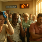
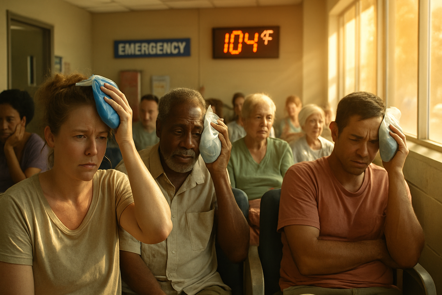
The Centers for Disease Control and Prevention issued an urgent alert Thursday warning that heat-related ER visits have reached “extremely high” levels across the United States — and forecasters at CNN Weather reported that the single worst day of the ongoing heat wave is expected to land on Saturday, July 5.
The CDC’s alert, which covers multiple regions from the mid-Atlantic through the Northeast and into parts of the South and Midwest, flags emergency departments already operating under unusual strain before the weekend’s heat even arrives. That timing — a holiday weekend when many Americans are outdoors and primary care offices are closed — is what health officials say makes this stretch especially dangerous.
What the CDC’s heat tracker is actually showing
The CDC runs a near-real-time surveillance system called HeatRisk that pulls emergency department data daily. As of Thursday, several major metro areas were sitting in the agency’s highest alert tier. Heat-related ER visits don’t just track people who collapse from heat stroke; the data also captures patients presenting with heat exhaustion, severe dehydration, and heat-triggered cardiac events — meaning the true toll is broader than dramatic cases alone suggest.
New York City and Washington, D.C., are among the metros most closely watched. Both cities issued heat emergencies and opened cooling centers ahead of Saturday’s forecast, which calls for heat index values — the “feels like” temperature combining heat and humidity — potentially topping 105°F in urban cores. Concrete and asphalt in dense cities absorb and re-radiate heat overnight, preventing the body from recovering even after the sun goes down.
One detail that often gets lost: nighttime low temperatures during an urban heat wave can be more deadly than the daytime peaks. When overnight lows stay above 80°F, the human body never gets the cooling window it needs to recover, and the cumulative stress over multiple nights is what drives the spike in cardiac and respiratory emergencies seen in ER data.
Saturday’s surge and who faces the highest risk
Meteorologists describe Saturday as the “heat dome” event’s apex, when a ridge of high pressure trapping hot air over the East Coast reaches maximum intensity. Humidity levels will be particularly punishing, since high moisture in the air blunts the body’s ability to cool itself through sweat evaporation.
The populations most at risk, according to the CDC, include adults over 65, infants and young children, people with cardiovascular or kidney disease, outdoor workers, and anyone without reliable air conditioning. Renters in older apartment buildings — a significant share of urban residents in New York, D.C., Philadelphia, and Baltimore — are often in that last category, making city-run cooling centers a critical resource this weekend.
Heat stroke, the most serious heat illness, requires immediate emergency care. Its warning signs differ from heat exhaustion in one important way: a person experiencing heat stroke may stop sweating entirely, with skin turning hot and dry even while their core body temperature climbs above 103°F. Confusion, slurred speech, or loss of consciousness are signs to call 911 immediately rather than attempt home treatment.
How this heat wave compares to recent summers
Europe’s experience offers a grim reference point. A heat event earlier this summer killed an estimated 3,700 people across France, Belgium, and the Netherlands within days, according to excess mortality data — a reminder that heat is consistently one of the deadliest weather phenomena globally, even though it generates less dramatic imagery than floods or tornadoes.
In the U.S., the National Weather Service has heat advisories and excessive heat warnings posted across roughly a third of the contiguous 48 states as of Friday. The pattern reflects a broader multi-year trend: heat dome events are forming more frequently, lasting longer, and arriving earlier in the summer calendar.
Practical steps for this weekend
- Check on neighbors. Elderly residents and people living alone are at disproportionate risk; a single door knock or phone call can be lifesaving.
- Use cooling centers. Most major cities have updated locator tools on their emergency management websites. NYC’s can be found through 311; D.C.’s through the Department of Human Services.
- Hydrate ahead of thirst. By the time you feel thirsty in extreme heat, you’re already mildly dehydrated. Avoid alcohol and caffeine, both of which accelerate fluid loss.
- Limit outdoor exposure 10 a.m. to 6 p.m. If you’re attending outdoor Fourth of July events, shade and water are non-negotiable, not optional.
- Know the signs. Heat exhaustion presents with heavy sweating, weakness, and nausea. Heat stroke — no sweating, confusion, very high body temperature — is a 911 emergency.
ER capacity concerns heading into the weekend
Hospital administrators in several northeastern cities said Friday they were pre-positioning additional staff and expanding triage capacity for heat-related ER visits. Some facilities have coordinated with local emergency management to redirect non-critical patients to urgent care clinics to keep emergency departments available for severe cases.
The CDC is expected to update its HeatRisk dashboard each morning through the weekend. If Saturday’s ER volume matches or exceeds what was recorded Thursday — already categorized as “extremely high” — it would represent one of the most acute single-weekend heat health events in recent U.S. history.
Public health officials are particularly focused on Sunday and Monday, when temperatures are forecast to remain elevated even as the dome slightly weakens. Past events show that heat-related deaths often peak 24 to 48 hours after the hottest day, as the cumulative physiological toll catches up with the most vulnerable.