Tropical Depression Bertha has weakened from a tropical storm but continues to pose a significant flood risk across the Eastern United States, forecasters said Thursday, as the system’s moisture plume streams inland ahead of a slow-moving frontal boundary.
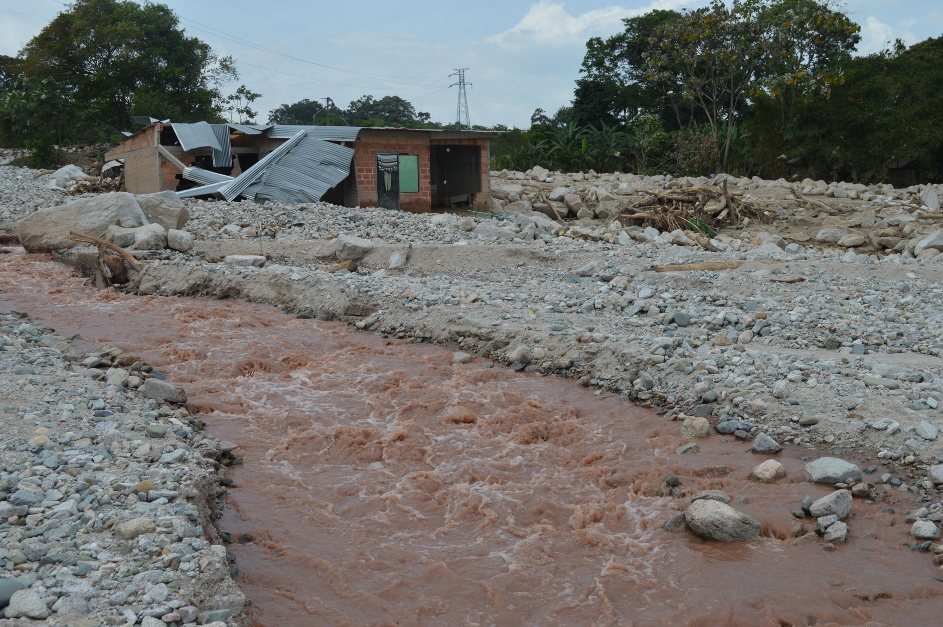
The National Hurricane Center downgraded Bertha to a tropical depression this week after the storm’s winds fell below tropical storm strength, but meteorologists warned that its remnant moisture would combine with an approaching cold front to produce heavy, potentially flooding rainfall from the Mid-Atlantic into parts of the Northeast through the weekend.
Flood Watches Span Multiple States
Flood watches and warnings have been issued across a broad swath of the East Coast, with forecasters at CNN Weather and the National Weather Service cautioning that some areas could see three to six inches of rain, with isolated pockets receiving more. Urban centers and areas with poor drainage are considered especially vulnerable, as are low-lying roads and small streams already running high from recent storms.
“The concern isn’t necessarily the strength of the storm anymore — it’s the amount of tropical moisture still available to wring out over saturated ground,” said one National Weather Service meteorologist cited in coverage of the system. Slow-moving thunderstorm clusters embedded within the moisture plume can dump rain at rates that overwhelm storm drains within a short period, a hallmark of flash flood events.
Why Weaker Storms Can Still Be Dangerous
Bertha’s transition from a tropical storm to a depression reflects a loss of organized wind circulation, but tropical systems often retain enormous amounts of atmospheric moisture even after they weaken. When that moisture interacts with a stalled or slow-moving front, as forecasters expect this week, it can produce prolonged, heavy rainfall over the same locations for hours at a time.
This pattern has proven dangerous in past storms, where flash flooding rather than wind caused the majority of damage and fatalities. Emergency management officials in several states have activated flood response protocols and are pre-positioning water rescue teams in anticipation of rising creeks and rivers.
Who Is Most at Risk
- Residents in low-lying neighborhoods and areas near small streams or urban creeks
- Drivers on roads with a history of flooding, particularly underpasses and low crossings
- Communities still recovering from earlier summer storms with saturated soil
- Basement-level homes and businesses in flood-prone metro areas
Officials are reiterating standard flood safety guidance: never drive through flooded roadways, since it takes only a foot or two of moving water to sweep away a vehicle. Residents are also advised to charge phones, monitor local weather alerts, and avoid unnecessary travel during the heaviest rain bands.
Broader Storm Season Context
Bertha’s weakening and subsequent flood threat come amid an active stretch of the 2026 Atlantic hurricane season, which has already produced multiple named storms. Climate scientists have repeatedly noted that a warmer atmosphere holds more moisture, a factor that can intensify rainfall totals even from weaker or dissipating tropical systems — a trend documented in research from agencies including NOAA.
The current setup echoes past flooding disasters in the eastern U.S., where remnants of tropical systems combined with stalled fronts to produce catastrophic, localized flooding far from the coast. Forecasters are monitoring the system’s track closely, as any shift in the front’s position could concentrate the heaviest rain over different regions than currently expected.
What Comes Next
The National Weather Service is expected to update flood watches and warnings as the system moves through the region over the coming days. Meteorologists say the greatest risk window will likely span from Thursday night into the weekend, though exact timing and rainfall totals remain subject to change depending on how quickly the frontal boundary moves.
Residents in affected states are encouraged to sign up for local emergency alerts and keep an eye on river gauge forecasts, particularly in areas that have already seen elevated water levels this summer. As with other recent extreme weather events covered by NarwhalTV, including the ongoing multistate health monitoring efforts, officials are emphasizing that preparedness and early warning remain the most effective tools for reducing harm.
Emergency officials stressed that flash flooding can develop within minutes in urban and low-lying areas, even well after a storm’s peak winds have subsided.
For now, the message from forecasters is consistent: Bertha may no longer carry tropical storm-force winds, but its rainfall legacy is far from over for millions of residents across the East.